Weather: One of NZ's warmest Julys followed by record-breaking lows
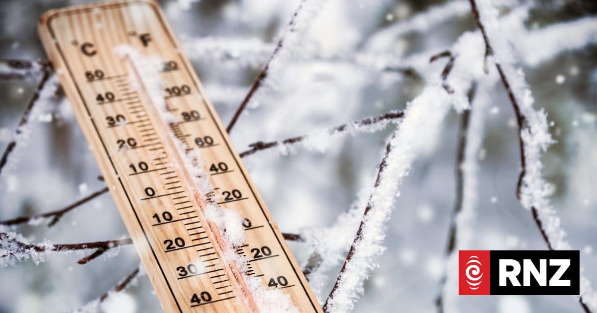
MetService is forecasting a warmer and wetter weekend, following a record-breaking week of icy temperatures.
Places named in this report: New Zealand
Exact coordinates
new zealand: -40.900, 174.890
Read it at RNZ See this on the map
What might happen next? AI-generated
These scenarios are written by an AI language model from the headline and summary above. They are not predictions from the newsroom, and they are not evidence of anything. Every one is given a deadline and checked against later coverage, and the score is published on the ledger — including the ones that miss.
-
Did not happen 55% Localized Infrastructure Strain
The sudden shift from extreme cold to warm, wet conditions overwhelms local drainage and power grids in key urban centers. Municipal emergency services are deployed to manage localized flooding and power disruptions in Auckland and Wellington.
Watch for: Local council issues a public advisory regarding flash flooding in a specific suburb. · A major telecommunications company reports widespread localized power outages.
-
Did not happen 25% Agricultural Adaptation Success
Farmers who proactively prepared for temperature volatility manage the transition well. Early crop assessments show minimal damage, and industry groups begin lobbying for targeted government weather relief packages.
Watch for: The Ministry of Primary Industries issues an official statement confirming successful harvest adjustments. · A major agricultural trade body releases a report on mitigated weather-related losses.
-
Confirmed 15% Unusual Weather Pattern Intensifies
The transition period is not stable; the record highs are immediately followed by a secondary, unexpected cold snap that lasts longer than the initial record low. This creates an acute public health concern regarding rapid temperature swings.
Watch for: MetService updates its forecast to warn of a second, unexpected cold front within 72 hours. · Hospitals report a surge in related emergency room visits due to temperature fluctuations.
-
Did not happen 5% Counter-Intuitive Stabilization
Against the typical volatile trend, the weather stabilizes into a consistently mild, slightly overcast period. This allows utility companies to recalibrate their usage forecasts without the need for emergency load shedding.
Watch for: A major utility provider publishes a stable, 14-day energy consumption projection. · The Department of Civil Defence issues a routine, non-emergency weather advisory.
Generated by gemma-4-E4B-it-qat-UD-Q4_K_XL.gguf
on 2026-08-08. Checked against later coverage after 2026-08-15.
See how these forecasts score.
ForecastGeo shows the headline and summary published by the newsroom and places the story on a map. The full article lives at the source.