‘We spy on them too’: Trump shrugs off China-Iran satellite imagery report
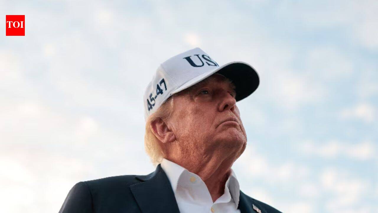
President Trump has dismissed concerns regarding reports that Chinese entities are providing Iran with satellite imagery, suggesting that such espionage practices are not unlike those employed by the United States. This incident reportedly occurred just before a missile strike that resulted in the deaths of three American soldiers. With a meeting scheduled with Chinese President Xi Jinping, this satellite connection could create tension during their impending trade and technology negotiations.
Where: Iran, China, United States
Exact coordinates
iran: 32.430, 53.690
china: 35.860, 104.200
united states: 37.090, -95.710
Read it at The Times of India See this on the map
What might happen next? AI-generated
These scenarios are written by an AI language model from the headline and summary above. They are not predictions from the newsroom, and they are not evidence of anything. Every one is given a deadline and checked against later coverage, and the score is published on the ledger — including the ones that miss.
ForecastGeo shows the headline and summary published by the newsroom and places the story on a map. The full article lives at the source.