US scientists tag sharks to help forecast hurricane intensification
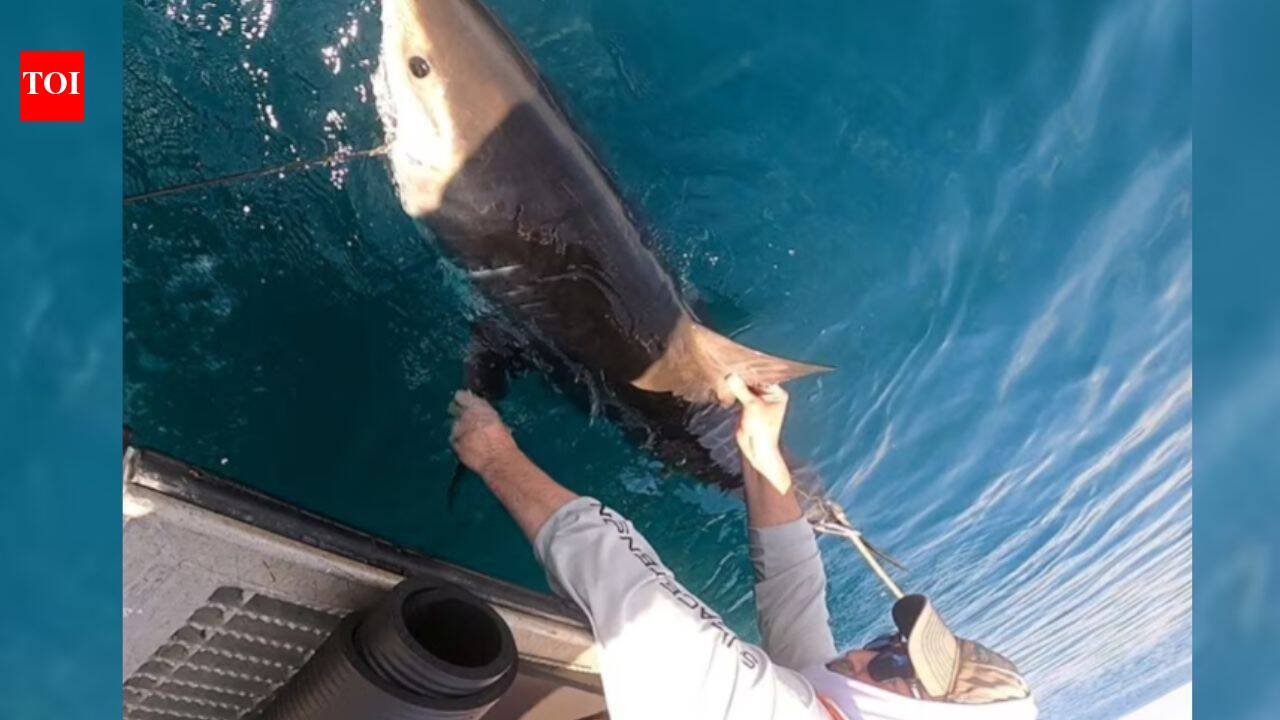
Sharks are being used as mobile ocean sensors by University of Delaware researchers in a new study that could help improve hurricane forecasts. Electronic tags attached to sharks collect water temperature, salinity and depth data as the animals move through the Atlantic. Scientists hope the information will improve understanding of ocean conditions that influence hurricane intensity.
Exact coordinates
india: 20.590, 78.960
delaware: 38.910, -75.520
Read it at The Times of India See this on the map
What might happen next? AI-generated
These scenarios are written by an AI language model from the headline and summary above. They are not predictions from the newsroom, and they are not evidence of anything. Every one is given a deadline and checked against later coverage, and the score is published on the ledger — including the ones that miss.
ForecastGeo shows the headline and summary published by the newsroom and places the story on a map. The full article lives at the source.