NASA Technique for Manipulating Satellite Photos Now Reveals Ancient Images
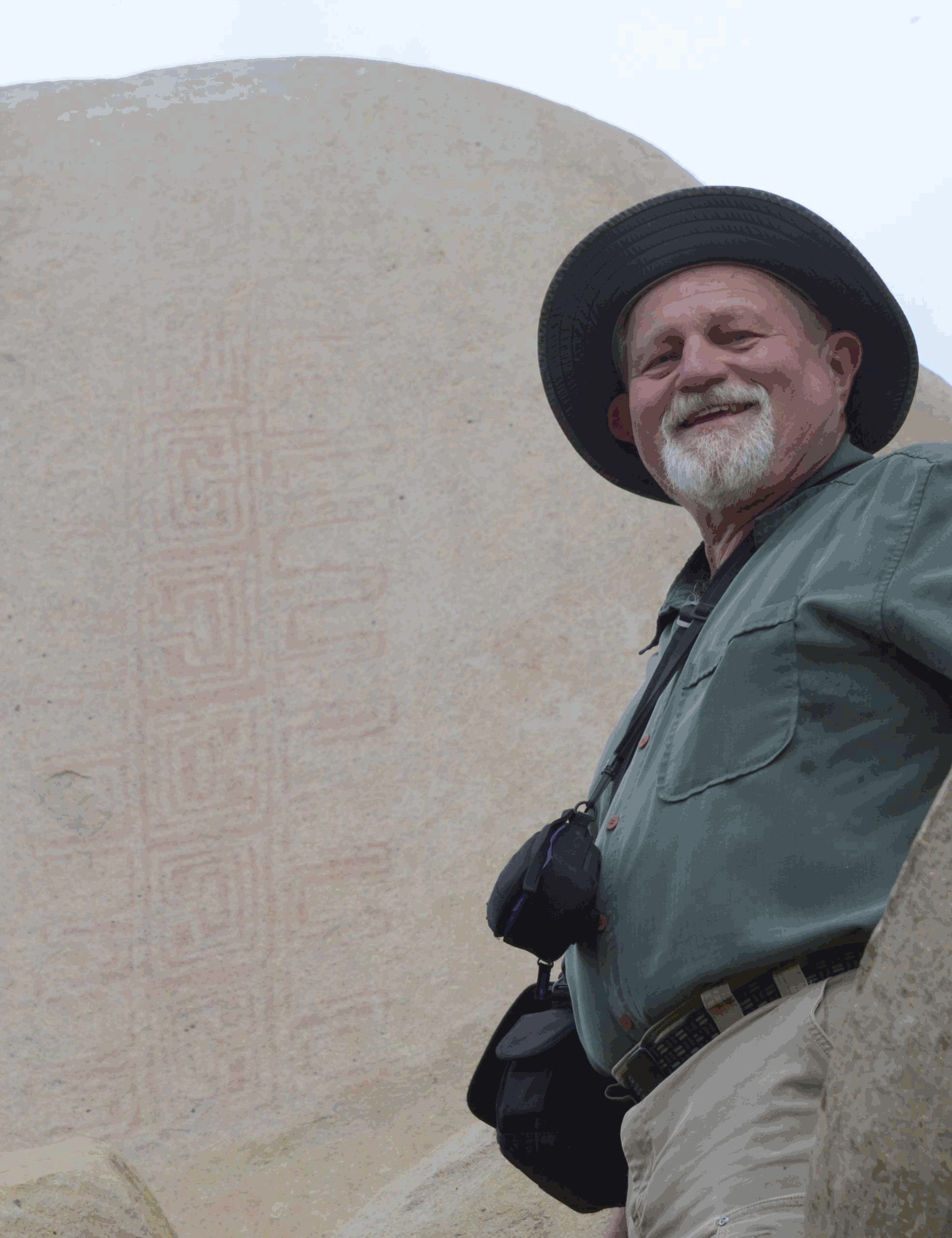
Algorithm NASA first applied to satellite imagery is now used to peer into antiquity
Where: Mexico, California, Canada, Norway
Exact coordinates
mexico: 23.630, -102.550
california: 36.780, -119.420
canada: 56.130, -106.350
norway: 60.470, 8.470
Read it at NASA See this on the map
What might happen next? AI-generated
These scenarios are written by an AI language model from the headline and summary above. They are not predictions from the newsroom, and they are not evidence of anything. Every one is given a deadline and checked against later coverage, and the score is published on the ledger — including the ones that miss.
ForecastGeo shows the headline and summary published by the newsroom and places the story on a map. The full article lives at the source.