Indonesia’s most dangerous fires are burning underground
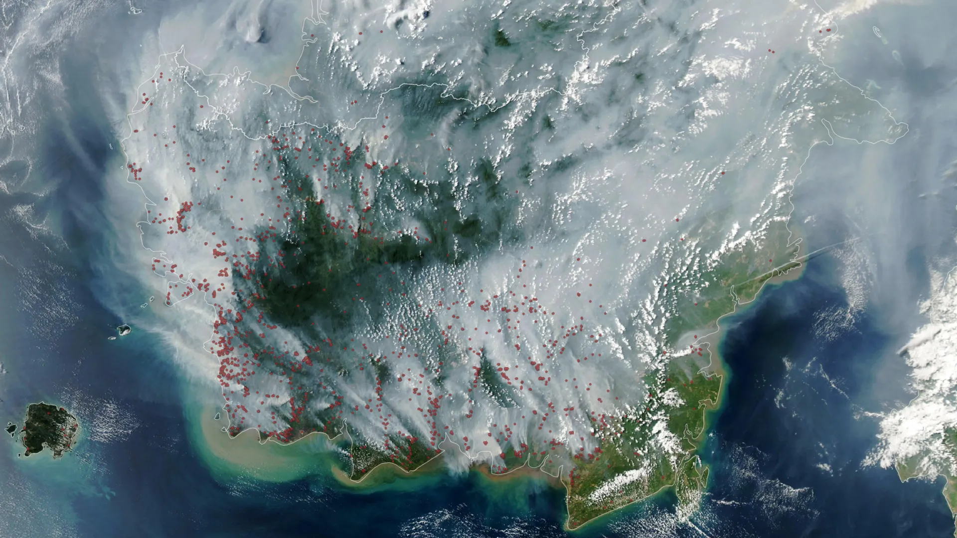
Indonesia’s dangerous peat fires are surging early in the 2026 fire season as a strengthening El Niño and severe drought dry out wetlands that can burn underground for months. These slow smoldering fires are especially destructive because they release far more fine particles and several pollutants than typical tropical forest fires, while thick smoke can make them difficult for satellites to detect.
Where: Indonesia, Japan, Maryland
Exact coordinates
indonesia: -0.790, 113.920
japan: 36.200, 138.250
maryland: 39.050, -76.640
Read it at ScienceDaily See this on the map
What might happen next? AI-generated
These scenarios are written by an AI language model from the headline and summary above. They are not predictions from the newsroom, and they are not evidence of anything. Every one is given a deadline and checked against later coverage, and the score is published on the ledger — including the ones that miss.
ForecastGeo shows the headline and summary published by the newsroom and places the story on a map. The full article lives at the source.