Dutch firm uses AI to help drone systems 'talk' on Ukraine's battlefield
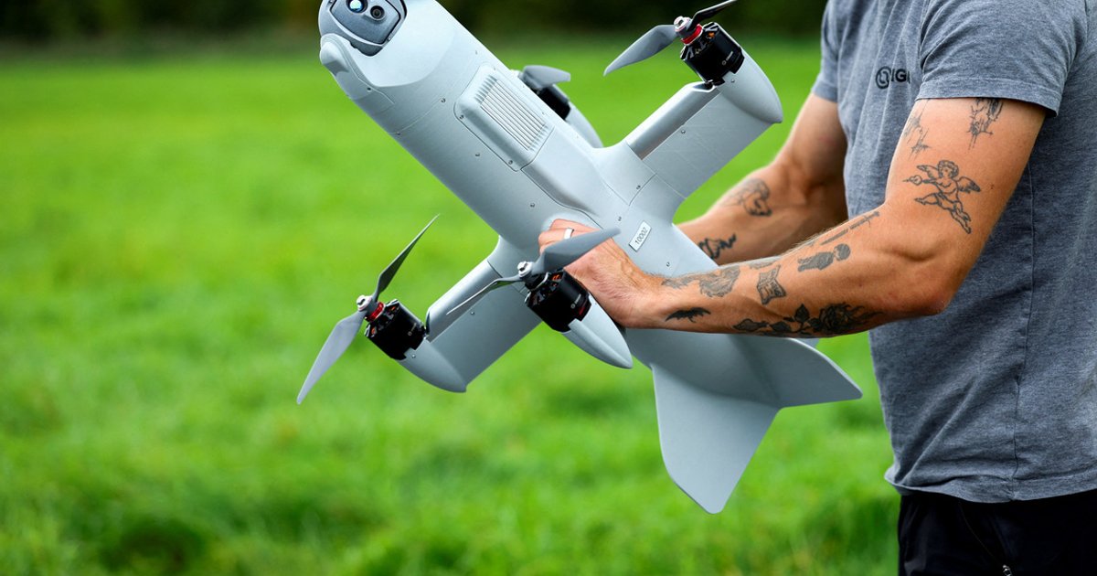
KATWIJK AAN ZEE, Netherlands, Oct 8 - A high-velocity drone launched at a disused Dutch airbase by the North Sea roars through the clouds and intercepts a mock enemy target detected by radar and verified using artificial intelligence.
Where: Ukraine, Netherlands, Amsterdam
Exact coordinates
ukraine: 48.380, 31.170
netherlands: 52.130, 5.290
amsterdam: 52.370, 4.900
Read it at The Straits Times See this on the map
What might happen next? AI-generated
These scenarios are written by an AI language model from the headline and summary above. They are not predictions from the newsroom, and they are not evidence of anything. Every one is given a deadline and checked against later coverage, and the score is published on the ledger — including the ones that miss.
ForecastGeo shows the headline and summary published by the newsroom and places the story on a map. The full article lives at the source.