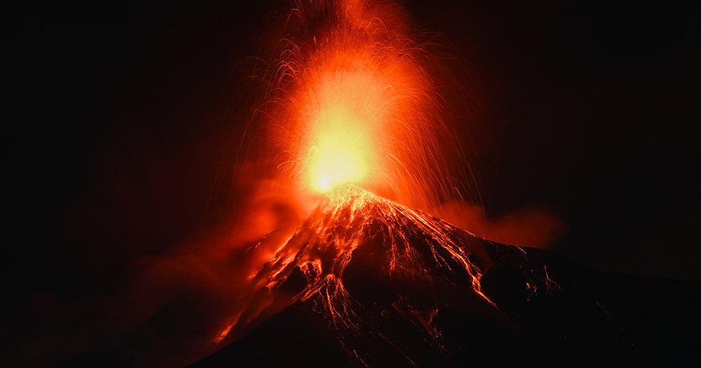
Dramatic photos show lava spewing from Fuego volcano in Guatemala
Guatemalan officials on Monday began evacuating two villages near the Fuego volcano due to the ongoing eruption.
Exact coordinates
spain: 40.460, -3.750
france: 46.230, 2.210
Read it at CBS News See this on the map
2 outlets covered this story — see how their framing differs
What might happen next? AI-generated
These scenarios are written by an AI language model from the headline and summary above. They are not predictions from the newsroom, and they are not evidence of anything. Every one is given a deadline and checked against later coverage, and the score is published on the ledger — including the ones that miss.
-
Unresolved 45% Controlled Volcanic De-escalation
The eruption enters a predictable, albeit active, phase. Government agencies successfully manage the evacuation, and monitoring indicates the magma chamber has reached a temporary equilibrium, allowing for controlled risk management.
Watch for: Guatemalan Institute of Volcanology issues a 'Level 2 Alert' update · International geological survey releases a report confirming stable magma flow patterns · The government announces the establishment of a permanent, reinforced temporary housing zone
-
Unresolved 30% Localized Disaster and Humanitarian Crisis
The eruption escalates beyond current monitoring capabilities, leading to pyroclastic flows or significant ashfall that overwhelms local infrastructure. International aid organizations are forced to intervene directly to manage mass displacement.
Watch for: The UN Office for the Coordination of Humanitarian Affairs deploys emergency logistics teams to the affected region · The Guatemalan National Guard issues a public declaration of a state of emergency exceeding current evacuation zones · Satellite imagery confirms sustained, high-volume ash plumes visible from neighboring countries
-
Unresolved 15% Counter-Intuitive Volcanic Quenching
Against the prevailing pattern of increasing activity, the eruption suddenly subsides into a series of minor tremors. Scientists attribute this to a previously unknown subsurface pressure release or magma pathway shift, leading to a swift return to near-normal life.
Watch for: The Fuego volcano is officially downgraded to 'Advisory' status by the National Volcanology Institute · News reports indicate that the government lifts all current mandatory evacuation orders · Local residents begin returning to the initial evacuation zones
-
Unresolved 10% Regional Environmental/Economic Disruption
The eruption causes significant damage to surrounding agricultural land and transportation corridors, leading to a regional economic downturn. International investors halt new commitments to Guatemalan infrastructure projects until stability is proven.
Watch for: The Ministry of Agriculture announces a national compensation fund for crop loss linked to volcanic activity · Major international shipping lines reroute traffic around the Guatemalan coast citing persistent ash hazards · The World Bank issues a public review of the risk assessment for Guatemalan development projects
Generated by gemma-4-E4B-it-qat-UD-Q4_K_XL.gguf
on 2026-08-04. Checked against later coverage after 2026-08-18.
See how these forecasts score.
ForecastGeo shows the headline and summary published by the newsroom and places the story on a map. The full article lives at the source.