Cooler conditions on way for parts of UK - but still no rain for drought-hit areas
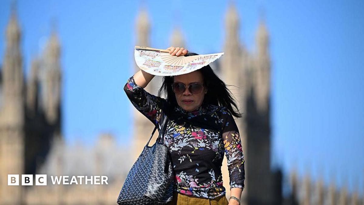
After another day of record-breaking temperatures for some parts of England, a cold front is moving in.
Where: Ireland
Exact coordinates
ireland: 53.140, -7.690
Read it at BBC News See this on the map
What might happen next? AI-generated
These scenarios are written by an AI language model from the headline and summary above. They are not predictions from the newsroom, and they are not evidence of anything. Every one is given a deadline and checked against later coverage, and the score is published on the ledger — including the ones that miss.
-
Unresolved 45% Stable Weather Pattern
The cold front passes through, bringing a brief period of cooler weather, but the underlying high-pressure system remains strong enough to prevent sustained heavy rainfall. Drought conditions remain stagnant, requiring local water management authorities to issue further low-level restrictions.
Watch for: Met Office issues a 'Moderate' rainfall forecast for the next 7 days · Local council releases a statement confirming no significant change in reservoir levels
-
Unresolved 30% Accelerated Rainfall Event
The influx of cooler, moist air from the incoming front triggers a more intense storm system than initially predicted. This leads to significant localized downpours, offering a temporary, albeit uneven, respite from the drought.
Watch for: BBC Weather reports 'Heavy Rainfall Warning' issued for Southern England · Local news reports 'Drought alert downgraded to amber' by environmental agency
-
Unresolved 15% Extended Warm Spell Resumes (Counter-Intuitive)
The cold front stalls or weakens prematurely, allowing a returning, stable anticyclone to re-establish itself over the UK. This results in a second, unexpected heatwave, potentially exacerbating agricultural stress.
Watch for: UK Government announces emergency agricultural subsidies for crop loss · High-profile politician tweets about the 'return of unseasonal summer heat'
-
Unresolved 10% Frontal System Stalls and Lingers
The cold front becomes stationary, creating a prolonged period of unsettled, cool, but consistent drizzling rain across the drought-stricken areas. This steady moisture provides gradual relief without the intensity of a single storm.
Watch for: Local farmers report 'continuous light precipitation' over several consecutive days · Water utility companies announce scheduled maintenance due to consistent low-flow conditions
Generated by gemma-4-E4B-it-qat-UD-Q4_K_XL.gguf
on 2026-07-30. Checked against later coverage after 2026-08-13.
See how these forecasts score.
ForecastGeo shows the headline and summary published by the newsroom and places the story on a map. The full article lives at the source.