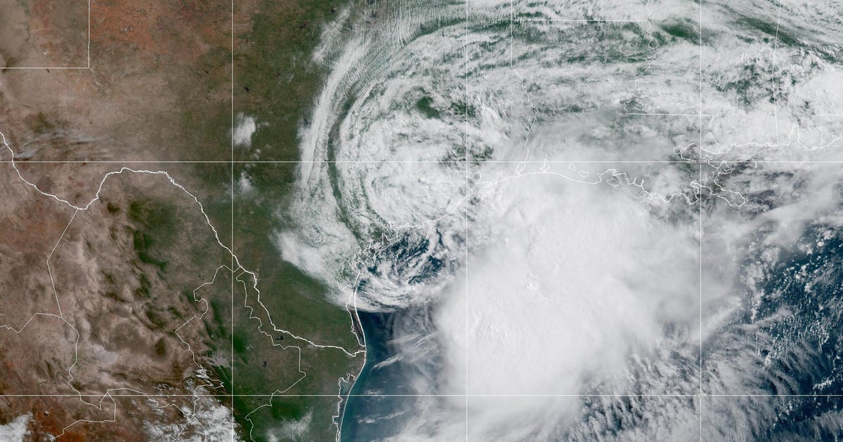
Atlantic breaks 60-year record for longest stretch without a hurricane
The onset of a particularly strong El Niño was a primary driver of this year's Atlantic hurricane season forecast, and it seems to be panning out as meteorologists anticipated.
Where: Michigan
Exact coordinates
michigan: 44.310, -85.600
Read it at CBS News See this on the map
What might happen next? AI-generated
These scenarios are written by an AI language model from the headline and summary above. They are not predictions from the newsroom, and they are not evidence of anything. Every one is given a deadline and checked against later coverage, and the score is published on the ledger — including the ones that miss.
-
Awaiting deadline 35% Accelerated Hurricane Season
The El Niño's influence becomes even more dominant, leading to an unexpectedly rapid development of multiple named storms. Major weather service advisories will be issued within the next 48 hours, prompting immediate regional preparedness efforts.
Watch for: National weather service issues a 'High Alert' for a specific coastal region (e.g., 'Florida') within 72 hours. · A specific, high-risk storm (e.g., 'Storm Zephyr') is officially named and tracks toward a populated area.
-
Awaiting deadline 30% Moderate Season with Early Peak
The initial strong El Niño signals manifest as a moderate surge in tropical activity, but the atmospheric conditions begin to stabilize slightly. Meteorologists forecast a peak in activity within the next 7 to 10 days before a slight decline in intensity.
Watch for: The Atlantic basin sees a reported decrease in 'Sea Surface Temperature anomalies' in a major tracking report by day 10. · A specific, mid-range storm (e.g., 'Storm Apollo') makes landfall in a non-major US population center by day 7.
-
Awaiting deadline 20% Unexpected Weakening/Anomaly
Contrary to the forecast, a secondary atmospheric pattern interferes with the El Niño's expected impact. This results in a period of unusually calm weather for the next two weeks, leading to a temporary drop in projected storm counts.
Watch for: A major meteorological institute publishes a special report stating that 'El Niño's influence is being counteracted by an opposing jet stream pattern.' · All named storms in the forecast for the next 14 days are downgraded to Tropical Depression status.
-
Awaiting deadline 15% Sustained High Uncertainty
The initial high-confidence forecast holds true, but the ongoing complexity of the ocean and atmosphere leads to frequent, small changes in tracking models. This creates a period where the official outlook is continuously revised without a clear resolution.
Watch for: The National Hurricane Center updates its outlook multiple times within a single week, each time increasing the 'cone of uncertainty' for a major storm. · A specific, named storm is officially downgraded and then immediately re-upgraded within a 48-hour window.
Generated by llama
on 2026-09-15. Checked against later coverage after 2026-09-17.
See how these forecasts score.
ForecastGeo shows the headline and summary published by the newsroom and places the story on a map. The full article lives at the source.