2nd earthquake hits Indonesia following powerful magnitude 7.7 quake
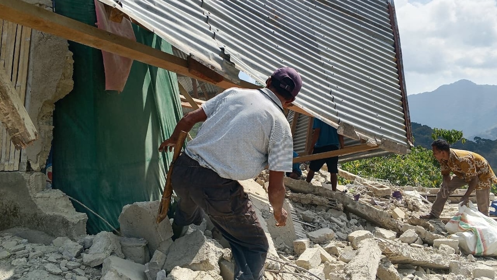
A powerful magnitude 7.7 earthquake struck off the coast of eastern Indonesia, according to the U.S. Geological Survey.
Where: Indonesia, Hawaii, Michigan
Exact coordinates
indonesia: -0.790, 113.920
hawaii: 19.900, -155.580
michigan: 44.310, -85.600
Read it at ABC News See this on the map
8 outlets covered this story — see how their framing differs
What might happen next? AI-generated
These scenarios are written by an AI language model from the headline and summary above. They are not predictions from the newsroom, and they are not evidence of anything. Every one is given a deadline and checked against later coverage, and the score is published on the ledger — including the ones that miss.
-
Awaiting deadline 60% Aftershock Crisis
The 7.7 magnitude quake triggers a significant secondary event (magnitude 6.5+) that collapses already weakened structures, causing a spike in casualties and forcing the Indonesian government to declare a state of emergency in the specific regency affected. International aid teams are delayed due to damaged port infrastructure, highlighting critical supply chain bottlenecks. Local hospitals report overwhelming capacity issues within the first three days.
Watch for: Indonesian President declares state of emergency in East Indonesia · USGS reports magnitude 6.5+ aftershock within 48 hours of main quake
-
Awaiting deadline 25% Infrastructure Failure
The initial earthquake severely damages the primary power grid and telecommunications hub for the region, leading to a prolonged blackout that isolates the hardest-hit coastal towns. Rescue operations stall as heavy machinery cannot be powered, and satellite imagery confirms the loss of the main supply road. The government struggles to provide accurate casualty counts due to communication blackouts.
Watch for: State electricity company PLN confirms total grid collapse in affected province · Satellite imagery shows major coastal access road blocked by landslide
-
Awaiting deadline 10% Low-Impact Event
Despite the high magnitude, the epicenter is located in a sparsely populated offshore area, resulting in minimal structural damage and fewer than 50 reported injuries. The tsunami warning issued immediately after the quake is cancelled within two hours as no significant wave height is detected. Local authorities confirm that critical infrastructure remains intact and normalcy resumes quickly.
Watch for: Tsunami warning cancelled less than 2 hours after the quake · Indonesian National Disaster Management Authority reports fewer than 50 injuries
-
Awaiting deadline 5% Misattribution Correction
Geological analysts later determine that the second significant tremor reported was not a natural aftershock but a result of a large-scale industrial explosion or mining activity in the vicinity, leading to public confusion and accusations of negligence. The USGS retracts its classification of the second event as a natural seismic event, shifting the focus of the news cycle from disaster relief to industrial safety investigations.
Watch for: USGS issues correction stating second tremor was anthropogenic · Local police arrest mining officials for unauthorized blasting near fault line
Generated by Qwen3.6-35B-A3B-UD-Q5_K_M.gguf
on 2026-08-15. Checked against later coverage after 2026-08-18.
See how these forecasts score.
ForecastGeo shows the headline and summary published by the newsroom and places the story on a map. The full article lives at the source.